The Conservation Grazing Map helps farmers and ranchers find public lands that are available for grazing livestock. The tool is a joint effort by the MDA, Minnesota Department of Natural Resources (DNR), U.S. Fish and Wildlife Service (USFWS), and The Nature Conservancy (TNC).
What is Conservation Grazing?
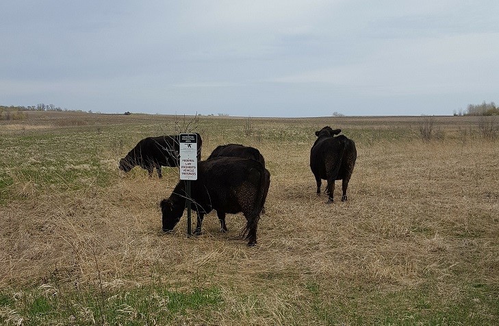
Conservation grazing uses managed livestock grazing to improve and maintain wildlife and plant habitat. Grazing – along with burning and haying – provide the ecological disturbances that are necessary to keep prairies and other ecosystems healthy. In addition, opening public land to grazing benefits local livestock producers.
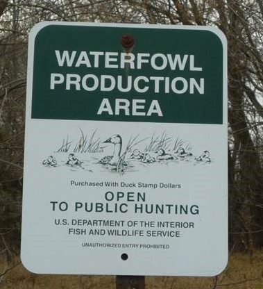
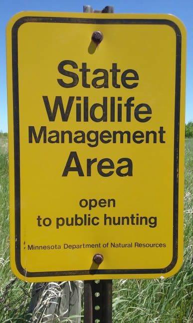
Grazing Public Land
If you are interested in grazing livestock on public land, it’s best to contact The Nature Conservancy, USFWS office, and/or DNR Wildlife Office nearest you. Click on the Conservation Grazing Map to find the contact information for land managers in your area.
Public land grazing opportunities vary greatly across the state and are not available in all areas. In some cases, you may need to bid on grazing a certain piece of land.
Working with the Wildlife Manager
Public wildlife land is managed differently than private pastureland. You will need to work closely with the agency that manages the land to develop a grazing plan that works both you and the wildlife manager.
Things to consider when grazing public land:
- Timing: Stock rate, density, timing, and duration need to support habitat goals. The land manager will work with you to get the right kind and number of animals to the right place at the right time and for the right reasons.
- Fencing: Most public land is not fenced for grazing and doesn’t have electricity. You will need to install temporary fencing (or repair existing fences) and, in most cases, provide solar fence chargers.
- Fees: Grazing fees are determined by the office managing the land and are usually based on Farm Service Agency reported average pasture rental rates. You may be able to offset these fees depending on the amount of work required to install fences, provide water, move livestock, etc.
- Insurance: Most agencies who manage public land require you to carry one million dollars of liability insurance coverage to protect both you and the agency against claims of injury and/or death.
Harvesting Hay on Public Land
In addition to grazing, hay cutting and baling may be an appropriate disturbance on some public land. As with grazing, timing of hay cutting must support the habitat goals established for the area. To learn more, contact the wildlife manager in your area.
Things to consider when haying on public land:
- Most of the time you must harvest hay in August (after nesting season and before fall hunting begins.)
- You must remove bales within 72 hours, unless it rains so much that driving on the land would create ruts.
- You will be charged market value for the bales, less a deduction for the work you've done.
- You must inspect your equipment to be sure that all vegetation that could contain invasive species seeds has been removed.
Conservation Grazing Map Disclaimer
The MDA offers this web site as a way for livestock producers to connect with managers of public lands who may be interested in using grazing as a land management tool. We compiled this information from various state, federal, and non-government agencies. The MDA is not responsible for misrepresentations of current available grazing sites and cautions you that potential grazing sites can change at any time without notice. It is ultimately up to the agency managing the property to determine whether a site is suitable for grazing and to establish contracts for grazing services. For information about conservation grazing in a particular area of the state, please use the contacts provided in the map search results.